Exam 1
Geodetic vs Projected Coordinate Reference Systems
A Coordinate Reference System (CRS) defines how spatial data are positioned on the Earth.
A geodetic CRS represents locations using latitude and longitude on the Earth’s curved surface. Coordinates are expressed in degrees, which are angular units.
A projected CRS transforms the curved Earth into a flat coordinate system so that spatial calculations such as distance, area, and buffers can be computed using meters.
For example, WGS84 (EPSG:4326) is a geodetic CRS commonly used by GPS systems, while UTM projections are projected CRS commonly used for spatial analysis.
Create a point in WGS84 (geodetic CRS)
Geometry set for 1 feature
Geometry type: POINT
Dimension:     XY
Bounding box:  xmin: -93.163 ymin: 44.953 xmax: -93.163 ymax: 44.953
Geodetic CRS: WGS 84Coordinate Reference System:
User input: EPSG:4326
wkt:
GEOGCRS["WGS 84",
ENSEMBLE["World Geodetic System 1984 ensemble",
MEMBER["World Geodetic System 1984 (Transit)"],
MEMBER["World Geodetic System 1984 (G730)"],
MEMBER["World Geodetic System 1984 (G873)"],
MEMBER["World Geodetic System 1984 (G1150)"],
MEMBER["World Geodetic System 1984 (G1674)"],
MEMBER["World Geodetic System 1984 (G1762)"],
MEMBER["World Geodetic System 1984 (G2139)"],
MEMBER["World Geodetic System 1984 (G2296)"],
ELLIPSOID["WGS 84",6378137,298.257223563,
LENGTHUNIT["metre",1]],
ENSEMBLEACCURACY[2.0]],
PRIMEM["Greenwich",0,
ANGLEUNIT["degree",0.0174532925199433]],
CS[ellipsoidal,2],
AXIS["geodetic latitude (Lat)",north,
ORDER[1],
ANGLEUNIT["degree",0.0174532925199433]],
AXIS["geodetic longitude (Lon)",east,
ORDER[2],
ANGLEUNIT["degree",0.0174532925199433]],
USAGE[
SCOPE["Horizontal component of 3D system."],
AREA["World."],
BBOX[-90,-180,90,180]],
ID["EPSG",4326]]Attempting a buffer in a geodetic CRS
Transform to a projected CRS (UTM Zone 15N)
Coordinate Reference System:
User input: EPSG:26915
wkt:
PROJCRS["NAD83 / UTM zone 15N",
BASEGEOGCRS["NAD83",
DATUM["North American Datum 1983",
ELLIPSOID["GRS 1980",6378137,298.257222101,
LENGTHUNIT["metre",1]]],
PRIMEM["Greenwich",0,
ANGLEUNIT["degree",0.0174532925199433]],
ID["EPSG",4269]],
CONVERSION["UTM zone 15N",
METHOD["Transverse Mercator",
ID["EPSG",9807]],
PARAMETER["Latitude of natural origin",0,
ANGLEUNIT["degree",0.0174532925199433],
ID["EPSG",8801]],
PARAMETER["Longitude of natural origin",-93,
ANGLEUNIT["degree",0.0174532925199433],
ID["EPSG",8802]],
PARAMETER["Scale factor at natural origin",0.9996,
SCALEUNIT["unity",1],
ID["EPSG",8805]],
PARAMETER["False easting",500000,
LENGTHUNIT["metre",1],
ID["EPSG",8806]],
PARAMETER["False northing",0,
LENGTHUNIT["metre",1],
ID["EPSG",8807]]],
CS[Cartesian,2],
AXIS["(E)",east,
ORDER[1],
LENGTHUNIT["metre",1]],
AXIS["(N)",north,
ORDER[2],
LENGTHUNIT["metre",1]],
USAGE[
SCOPE["Engineering survey, topographic mapping."],
AREA["North America - between 96°W and 90°W - onshore and offshore. Canada - Manitoba; Nunavut; Ontario. United States (USA) - Arkansas; Illinois; Iowa; Kansas; Louisiana; Michigan; Minnesota; Mississippi; Missouri; Nebraska; Oklahoma; Tennessee; Texas; Wisconsin."],
BBOX[25.61,-96,84,-90]],
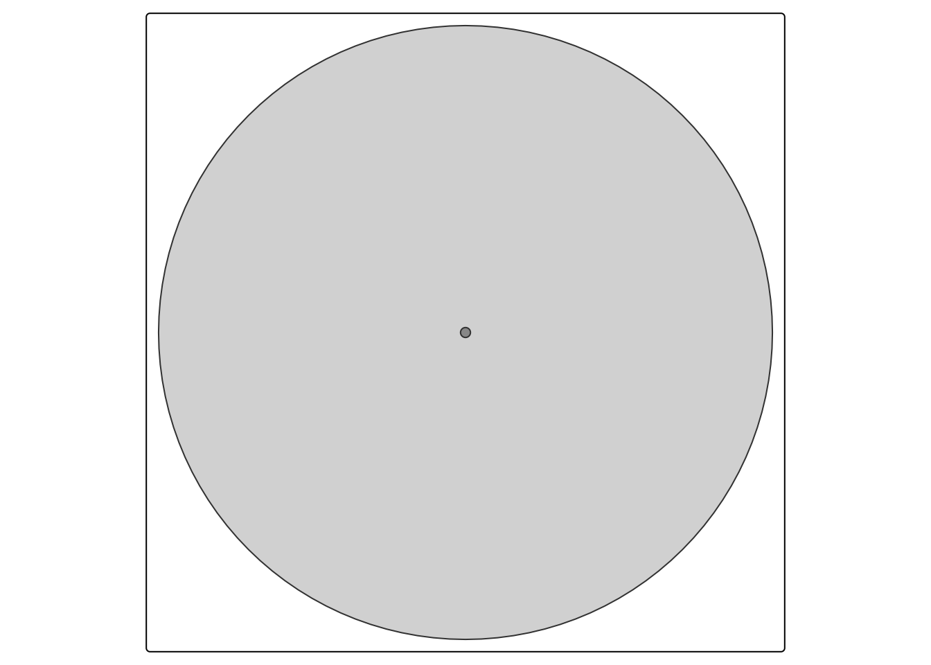
ID["EPSG",26915]]Create a 1 km buffer
Visualize the result
Key takeaway
Geodetic CRS are useful for storing global location data, while projected CRS are necessary for accurate spatial measurements such as distance, area, and buffering.
Transforming between CRS using st_transform() is a standard step in spatial analysis workflows.
Extra Exploration
Compare distances
Units: [m]
        [,1]
[1,] 5794.77